ACR SkyTech provides high-precision drone data for infrastructure, utility, and construction sectors that demand technical accuracy. We specialize in high-density LiDAR mapping, radiometric thermal diagnostics, and industrial site monitoring to support critical asset management and engineering workflows.
Based in Tabernacle, NJ, we serve the East Coast with industrial-grade flight operations. Our team combines FAA Part 107 certification with heavy-lift platforms like the DJI M350 RTK to deliver actionable geospatial insights for high-stakes projects.
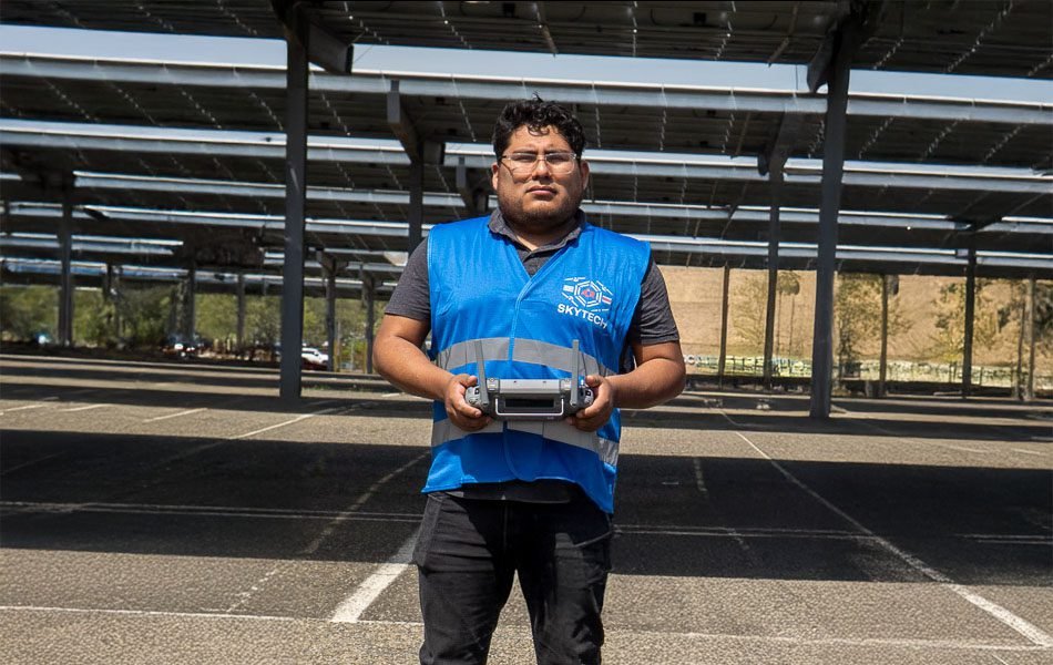
Every mission is operated by licensed pilots equipped for high-risk industrial environments and active construction sites.
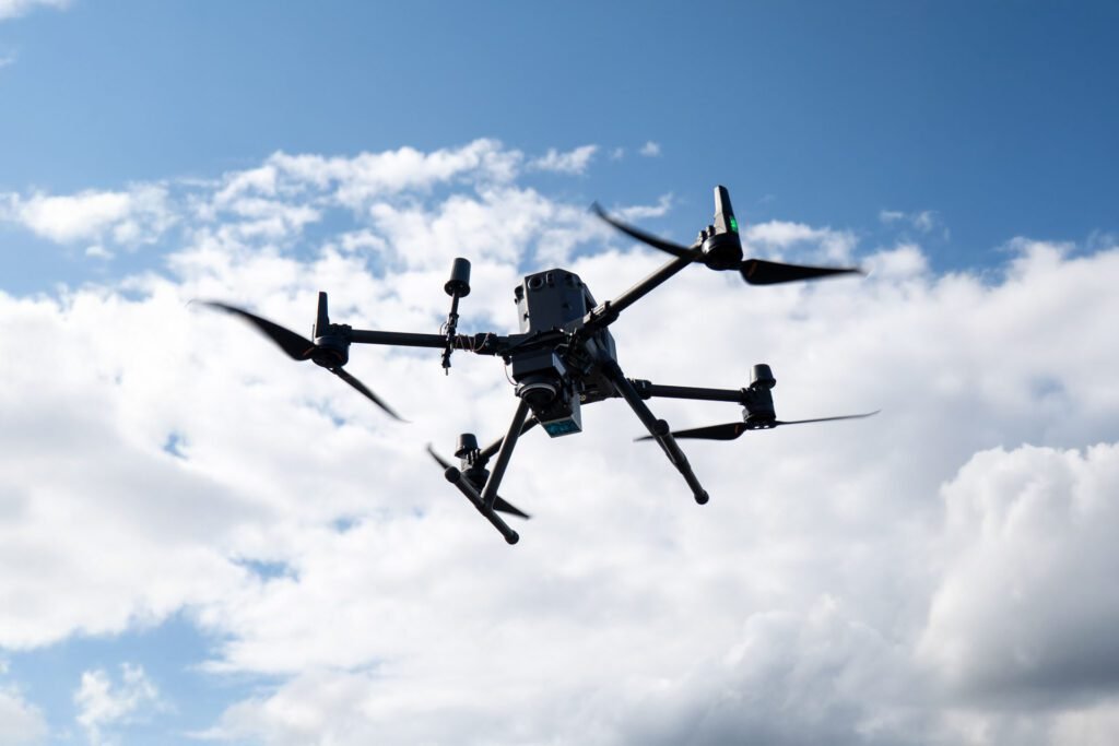
Industrial Grade Payloads
We use professional grade drones, thermal cameras, and LiDAR sensors for reliable results.
Data Integrity & Precision
We deliver georeferenced diagnostics and CAD-compatible files (GeoTIFF, LAS) to streamline stakeholder decision-making.
500+
Acres Mapped
100+
MW Inspected
24-48 hr
Data Delivery
100%
Safety Record
The Team
Our Team of Drone Specialists
Robert Arraiza
Lead UAS Geospatial Specialist
Roberto Arraiza
sUAS Thermography Specialist
Carlos Arraiza
Visual Data & Progress Specialist
Edward Mamani
Site Logistics & Data Specialist
Precision & Professional UAS Operations
Every mission is handled with technical care by FAA-certified pilots using industrial grade drones and sensors. We deliver georeferenced data and diagnostic imagery that stakeholders can trust for engineering and asset management.
At ACR SkyTech, this isn’t just a business it’s our legacy in the making.
We started with a shared love for drones and a drive to push boundaries. What began as a passion quickly became a purpose: to build something that would leave a mark on the world. Together as a family and a team, we committed to creating not just another drone service, but the best drone company in the industry.
Every project we take on is treated like a chance to prove that excellence isn’t optional, it’s who we are. From sunrise flights to all night edits, we show up with full dedication, professional grade tools, and the mindset to get it done right. This is our craft, our name, and our future, and we’re building it to last.