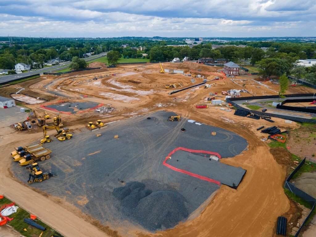
ACR SkyTech provides professional drone construction monitoring NJ to track earthwork, structural progress, and site logistics. We deliver high-resolution aerial data that keeps stakeholders informed and projects on schedule.
Accuracy
OSHA Compliant
Average Turnaround Time
Georeferenced Data
Monitor construction sites and document progress with technical drone services. Our aerial datasets provide overhead views and 2D orthomosaic overlays for schedule verification and material staging.
Generate actionable visual evidence for investor updates, bank draws, and insurance documentation. We provide a permanent digital record of the site to mitigate risk and ensure legal compliance.
Define your monitoring frequency and coordinate site access. We handle all FAA authorizations and site safety protocols for active construction zones.
Our team executes automated flight paths to capture high-resolution aerial datasets. We collect the georeferenced imagery required for 2D orthomosaics and 3D site reconstructions.
Receive georeferenced maps, CAD-compatible GeoTIFFs, and progress reports in 24 to 48 hours. Data is delivered via a secure portal for immediate stakeholder review and bank draw verification.
ACR SkyTech provides professional drone construction monitoring NJ for developers and general contractors. We deliver high-resolution aerial datasets to track earthwork, monitor site logistics, and verify project milestones.
Fill out the short form below and a member of our team will get back to you with a custom quote.