Drone Surveying and Mapping in NJ That Speaks
ACR SkyTech provides professional drone surveying and mapping in NJ, using LiDAR and photogrammetry to deliver precise, fast data for site planning.
1-2 cm
Accuracy
100%
FAA Compliance
24-48 hr
Average Turnaround Time
10+
Mapping Formats Supported
Detailed Terrain Models for Smarter Site Planning
We deliver high-accuracy digital elevation models and contour lines using LiDAR and GNSS technology. Perfect for developers, engineers, and planners needing reliable terrain data.
Deliverables & Specs
- Output Formats: .LAS, .TIFF, .SHP
- Accuracy: 1-2cm (with RTK + GNSS)
- Turnaround: 1-3 Business days
- Coverage Rate: Up to 400 acres/day
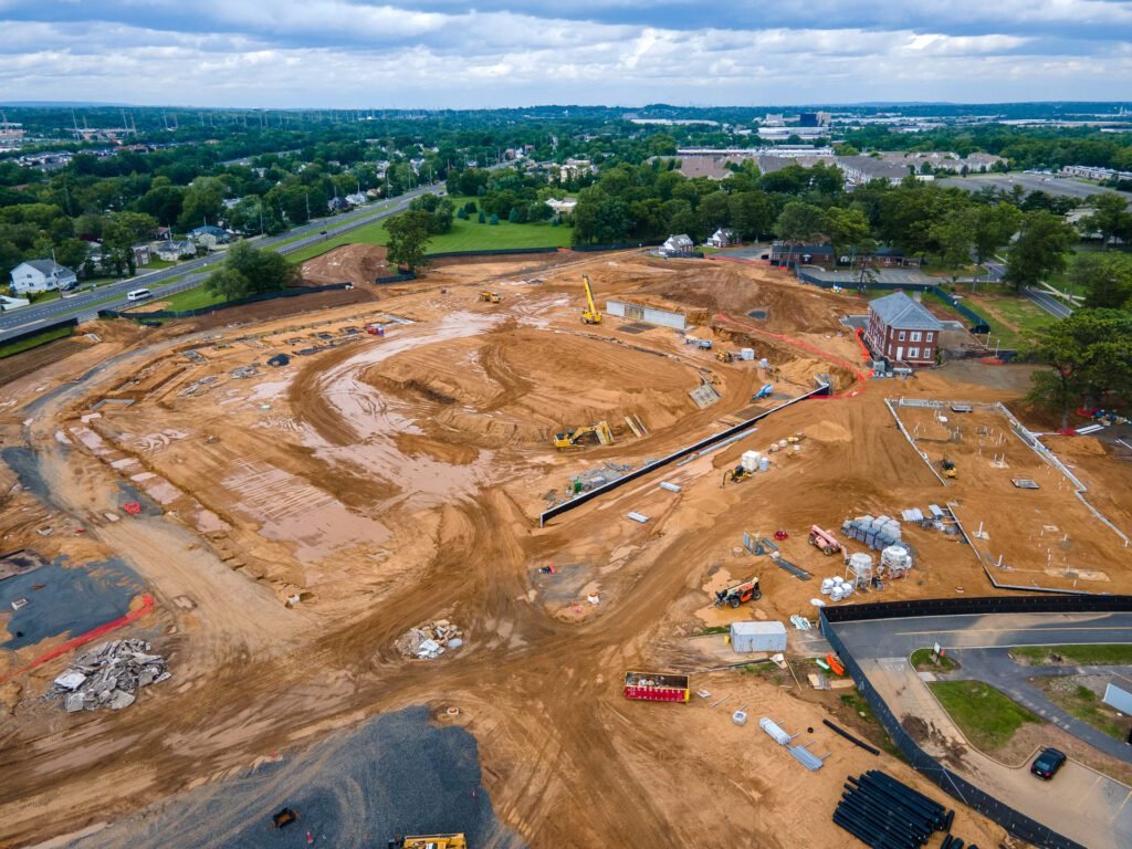
Accurate Volume Calculations for Earthwork & Excavation
We calculate precise cut and fill volumes to support your site grading, excavation planning, and material cost estimates. Fast turnarounds backed by high-resolution LiDAR data.
Deliverables & Specs
- Output Formats: .LAS, .TIFF, .SHP, DXF
- Accuracy: 1-2cm (with RTK + GNSS)
- Turnaround: 1-3 Business days
- Volume Calculation Report: PDF or CSV
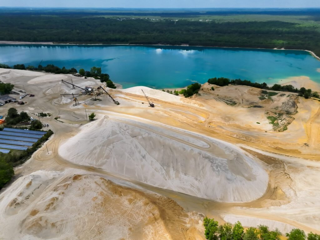
Monthly or On-Demand Stockpile Reports for Inventory Tracking
Track your aggregate, mulch, sand, or recycled material volumes with drone-based volumetric surveys. No disruption to your operations — just fast, reliable numbers when you need them.
Deliverables & Specs
- Output Formats: .LAS, .TIFF, .SHP, DXF
- Accuracy: 1-2cm (with RTK + GNSS)
- Turnaround: 1-2 Business days
- Volume Calculation Summary: PDF or CSV
- Historical comparison and trends available for reccuring clients
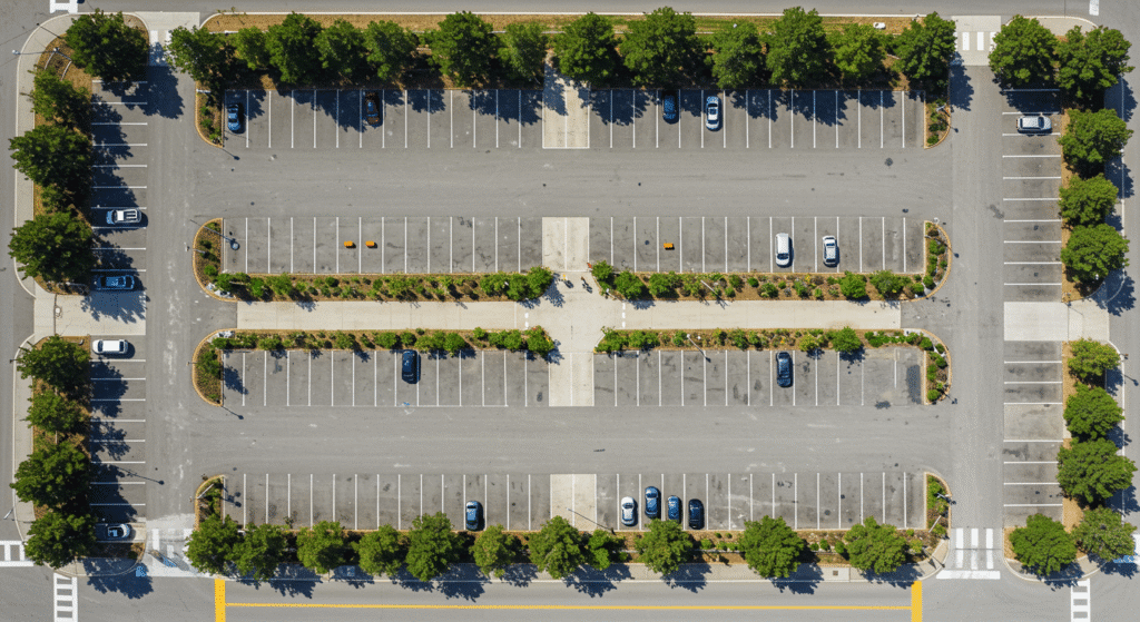
Capture Site Conditions with Real-World Accuracy
We provide drone based LiDAR as-builts for construction, utilities, and infrastructure great for documentation, project handoff, and comparison with design specs. For legal certification, we partner with licensed surveyors.
Deliverables & Specs
- Output Formats: .LAS, .TIFF, .SHP, DXF
- Accuracy: 1-2cm (with RTK + GNSS)
- Turnaround: 2-5 Business days
- Reports: PDF or CSV, CAD ready
Your Data in 3 Easy Steps
From Flight to Files
Book a Flight
Choose your site and date. We handle FAA clearance and prep.
We Fly & Scan
Our team captures high-res aerial data with LiDAR and photogrammetry.
Deliverables Sent
Get maps, models, and measurements in just 24–48 hours.
Get Drone Surveying & Mapping Quotes in NJ
Clients across NJ trust us for reliable drone surveying and mapping backed by FAA compliance.